Wednesday, May 30, 2012

CR 34

 I FINALLY got to go riding again.  For a week, the weather was windy and then rainy and then windy again.  I was trying to ride to MacFarlane Reservoir which is in the middle of the county, but didn't even get close.  There are two ways to get there.  I tried from CR 34 and on the map it looked like a simple three mile ride down a two track road on BLM land.  I've never been to the reservoir and now can say I still haven't.  


I was riding Duster and he does not like boggy ground at all.  We had to cross a boggy little creek between two of the irrigation ponds right off the bat and he would not step into it.  If I had been riding Copper, he would have dived right in because not much bothers him.  I tried to out-wait Duster and not let him get away without crossing, but he was adamant and starting rearing up a little and it wasn't helping that Bear the dog kept circling around behind him and nipping at his heels.  So I finally gave in and rode him all the way around the pond and there was another crusty gray mud ditch that even the dogs were sinking into that I didn't even try to cross.  I kept having to open and shut gates to get through the fence lines and kept circumventing to get back to the two track road I thought we needed to be on, but by then the wind was blowing and I was a fed up by the whole deal.  We hadn't gone very far at all and I could still see the truck and trailer from where I decided to turn around, but even getting back to it was a pain.  I didn't want to have to backtrack (the story of my life) and ended up crossing   another semi boggy area with a lot of alkali, scrambling on top of the dam of the irrigation pond to the east of the first one, led Duster over the same little creek that had caused us problems earlier but at a really narrow spot, down a short road, and then back to the truck.  Ugh!


But, I know another way to get to McFarlane off of CR 28, and I will try again at a later date. I think it took Shackleton a few tries too.   

An old fence line

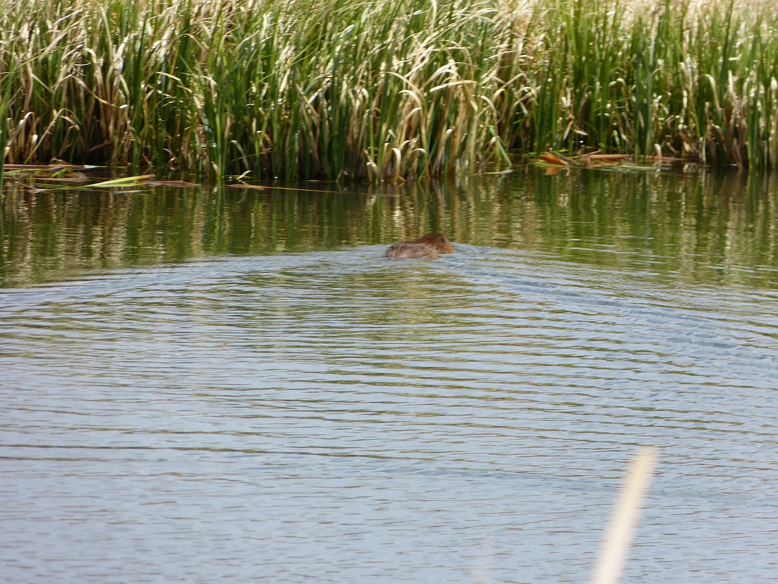
The first irrigation pond
 

An antelope I saw on the drive home.  I had seen some four elk when I was riding, but they were too far away for a picture.  
He had a nice fluffy butt like a cotton tail.


Sunday, May 20, 2012

FSR 516

Sadly, I have no pictures from this ride.  Forest Service Road 516 is at the border of Colorado and Wyoming.  After I had parked and unloaded, Copper, I looked at the sky and decided that it might rain, so I didn't want to take my camera.  We (Copper, Bear, and Zoe) crossed CO State Hwy. 125 which turns into WY 230 there at the border and entered the pine tree forest.  We followed this two track road for a ways.  Everything looked about the same with trees on all sides and a lot of them dead from the pine bark beetle infestation.  I really was not planning on going for a very long ride, but I did want to follow the road until I came to something like a "T" or a fork, or a landmark of some kind.  Eventually, we did get to a "T" but instead of heading back, I made a right hand turn and decided to follow the new trail 516 on a little farther.  I sure do hate to turn around.  I always want to see what is around the next bend.  There was a sign posted there that had the trail that I had been on as 516E, so I guess I was actually coming off of a little spur road.


 I continued to follow the new 516 which was posted with orange diamonds for a cross country ski trail.  It seemed to me that I was headed in the right direction to make a loop.  Big mistake!  I rode along this trail and just kept going and going until it got the point that I didn't want to turn around because I would have so far to back track.  Long story short, after a while I knew I was lost, but still travelling on that darn 516.  I had some water, one granola bar, and no cell service.   Finally, I came upon an old mine called the Village Belle that I had been to with my friend Joie and her two kids in her van.  I was very happy to finally figure out what direction I had been going in and where I was, but unfortunately, I also realized that I was 3 1/2 miles away from the paved Hwy. 125 and then still further miles away from where I had parked my truck and trailer.  


So I headed the way I needed to go.  My horse was cranky and my dogs were tired, but at least I knew we weren't lost anymore.  Luckily, when I got out by the paved highway, I was able to get cell phone service and called my husband.  He drove out in his patrol vehicle to where I was and picked up the keys to our truck.  Then he drove to the state line which was another 5 miles up the road and parked and then got in our truck and drove it down to me and my waiting horse and dogs.  Copper whinnied when he saw the truck coming he was so happy to be going home.  We loaded him up and went back up to the state line and my husband got back in his patrol vehicle and I drove the truck and trailer home.  We were all pooped. 


The next morning, we looked on a map to try to figure out where I had been, and counted up each little square and figured out I had ridden 12 miles.  It's not the first time I've been lost in the forest, but it was one of the longer times.  It sure made me appreciate being home that night.    

Tuesday, May 15, 2012

CR 8A

 I was going to ride down a two-track road off of County Road 8A to the North Sand Dunes (yes, along with pelicans and seagulls, we have sand dunes) but there was a wooden barrier with No Trespassing and Private Property signs blocking the road that did not used to be there.  I try to obey any posted signs, so I did not go that way but made a loop to the west and south.  Later, my husband talked to a DOW officer (Division of Wildlife) who told him who had posted the signs.  Turns out it was another rancher who we know and they own 40 acres right in the middle of this particular State Wildlife Area.  The next time I try to go to the North Sand Dunes, I'll give them a call and see if I can get permission to pass through their property.
 One of the nice things about riding around in our part of the country is that you can name things and there is no one there to correct you.  I call this rock formation, Dinosaur Ridge.
 Looking east at the Rawah Mountains.

Rode Duster with Bear & Zoe.  The weather was gorgeous without a cloud in the sky.  Photos taken with Leica camera.

Tuesday, May 8, 2012

Johnny Moore Mountain

Meadow Creek Reservoir

Looking northwest towards Walden
Bear & Zoe

Copper

On this trail ride, I rode Copper, my husband Scott's horse.  Copper is a 12 year gelding.  He's registered with the American Paint Horse Association even though he's a buckskin, but maybe buckskins are considered paints as far as the A.P.H.A. goes?  His registered name is Star Buck Moon and he was born on March 29, 2000 in Spragueville, Iowa.  We bought him and my horse, Duster, from a couple outside of Ault.  I don't know how he got from Iowa to Colorado.  


The pictures today were taken with my old Canon Power Shot A410 camera.  It's a good thing that I brought my smaller camera and not my Leica because the latter one would have been smashed on the tree trunks trying to get through the wooded part of this ride.  I rode here about two years ago and it was a nice trail, but now the amount of deadfall trees made it almost impassable.  At one point, I couldn't even tell that I was on the same trail and thought I had missed a turn.  Copper is a big horse, well over 16 hands, but even he was having trouble climbing over the downed trees.  He hadn't been ridden for a long time and wasn't used to being by himself, so he was whinnying and wanting to go back to the trailer.  It was rather frustrating trying to pick a path over and around all of the tangled trees and branches, constantly urging him forward, and trying to steer him so that he didn't crash my knees into the trunks.  We got stuck in one spot, hemmed in by trees on all sides, and I had to get off and lead him up, over, and around the dead wood.  The toppled trees looked like a box of giant spilled toothpicks going every which way with no rhyme or reason.  I had my cell phone with me and I don't know if I even had any  reception, but I so wanted to call my husband and ask him to bring some chainsaws and a couple of friends and cut us a path out of there.  


But we pushed on and eventually picked our way out of the woods onto the top of Johnny Moore which is only covered with sagebrush.  The views from up on there were beautiful.  I could see east and west along Highway 14, ranches at the base, Meadow Creek Reservoir, and east to the Rawah Mountains. It wasn't too windy on the crest and we followed a two track road down and back to the trailer worn out but in one piece.  I didn't see any wildlife on the trip except for some birds and a couple of antelope.  


Johnny Moore Mountain is a State Trust Wildlife area which means it is maintained by the B.L.M. (Bureau of Land Management).  I'm planning on writing the Jackson County ranger a letter to inform him/her about the condition of the trail and ask if they are scheduled to do any work on it this summer.  Maybe I could even find some volunteers and we could help?  I'm pretty sure they lease out the pasture on the mountain and maybe the ranch that runs cattle on it could send a few guys?  I know it would sure be hard to gather up your cows in the fall through all of those tangled trees. 

Sunday, May 6, 2012

31 Mile Reservoir


Looking east to the Rawah Mountains.  I'm using my new Leica V-Lux3 camera that I got last year.  I have a good padded case for it and hope it's going to withstand the rigors of riding, weather, dust and dirt.

 Lots of birds

Duster

 Zoe - Bear was with us too, but he was busy playing in the water.

 Cattails - they're not that common in North Park
 It's not easy taking pictures of wildlife with two dogs and a horse.  The domesticated animals cooperate less than the wild ones.  I need to get my bird book out.
 I think this was a muskrat and not a beaver.  There aren't any beaver dams around, not any fast flowing water, and no trees, only a few willow bushes.
 He's not sticking around.
We have pelicans in North Park which always seemed strange to me.  We have seagulls too although the closest ocean, the Pacific, is hundreds of miles west.